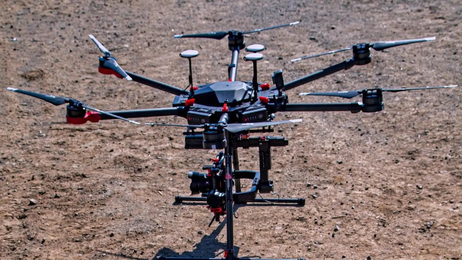
For architects, the initial site assessment is a crucial step in bringing a vision to life. Traditionally, this process relied on manual methods or expensive helicopters. However, drone surveys for architects have emerged as a game-changer, offering a faster, safer, and more detailed approach.
Speed Up Your Workflow
Firstly, time is of the essence in any architectural project. Drone surveys significantly reduce the time needed to capture site data. A pilot can navigate a drone autonomously across the entire area, capturing high-resolution images and videos in a fraction of the time it would take a surveyor on foot. This translates to quicker project turnaround times and allows architects to move swiftly into the design phase.
Safety First
Secondly, architectural sites can be complex and sometimes dangerous. Sending a crew to climb precarious structures or navigate uneven terrain poses a significant safety risk. Drone surveys eliminate these hazards. The pilot operates the drone from a safe distance, collecting data without putting anyone at risk. Furthermore, this is particularly advantageous for assessing historical buildings or structures with potential instability.
Unmatched Detail in Every Dimension
Thirdly, drone surveys provide architects with an unparalleled level of detail. High-resolution cameras capture intricate features and textures that might be missed by traditional methods. Additionally, drones can capture data from various angles, creating a comprehensive 3D model of the site. This detailed information allows architects to make informed decisions about the design, ensuring a perfect fit for the existing environment.
Beyond the Initial Assessment
The benefits of drone surveys for architects extend far beyond the initial site assessment. Throughout the project lifecycle, drones can be used for:
Progress Monitoring
Regularly scheduled drone flights provide a visual record of construction progress. This allows architects to track the project’s development, identify any deviations from the plan, and make adjustments as needed.
Inventory Management
Drones can be used to create a detailed inventory of building materials on-site. Additionally, this helps with material tracking, prevents waste, and ensures efficient resource management.
Inspection and Maintenance
Once a building is complete, drones can be invaluable for regular inspections and maintenance. They can quickly identify potential issues with the roof, facade, or other areas that might be difficult to reach with traditional methods.
Embracing Innovation
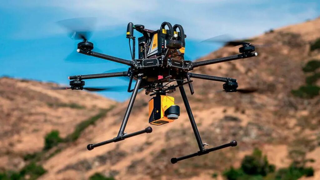
Drone technology is constantly evolving, offering architects even more possibilities. Advancements in thermal imaging can help identify structural weaknesses or energy inefficiencies in existing buildings. Additionally, the integration of LiDAR (Light Detection and Ranging) technology allows for the creation of highly accurate 3D point clouds, further enhancing the data captured during a drone survey.
Investing in the Future
Drone surveys represent a significant investment in the future of architecture. By adopting this technology, architects gain a competitive edge with faster, safer, and more detailed site assessments. The resulting data empowers them to create exceptional designs that seamlessly integrate with the surrounding environment. Additionally, as drone technology continues to develop, its impact on the architectural landscape will only become more profound.
Incorporating drone surveys into your architectural workflow isn’t just about efficiency; it’s about embracing innovation and creating the best possible outcome for your projects.
Conclusion
In conclusion, drone surveys for architects represent a transformative advancement in site assessment. By revolutionizing data collection, drones enhance efficiency and accuracy, allowing architects to make informed decisions with confidence. This technology streamlines processes, reducing time and labor costs while mitigating safety risks associated with traditional methods. Furthermore, the detailed insights provided by drone-captured data enable architects to create more precise and effective designs.Furthermore, as the use of drones becomes increasingly prevalent in the architectural industry, they will continue to shape the future of site assessment, driving innovation and improving project outcomes. Embracing this technology empowers architects to stay ahead of the curve, delivering projects that meet the highest standards of quality, safety, and sustainability.